

Advertisement


GREAT BAY — While another earthquake may rattle Puerto Rico’s southwestern coast even more, the risk of tsunamis hitting the Leeward Islands is very slim. Earthquakes below 7.5 or 7.0 usually do not trigger tsunamis. The last time a major tsunami hit the Caribbean region was in 1946, after an 8.1-magnitude earthquake struck the Dominican Republic on the island of Hispaniola.
Over the past 500 years, the Caribbean region may have been exposed to approximately 100 tsunamis. The North Panama Deformed Belt has the largest number of tsunami records within the Caribbean. Puerto Rico sits at the edge of the Caribbean tectonic plate, where that plate is colliding with the North American plate. The entire island is an active plate boundary zone: many more earthquakes can be expected, with the risk of the collapse of buildings. In case of a tsunami, Puerto Rico and the island of Hispaniola run the biggest risk.
On January 10th last year, a tsunami warning was issued for the Leeward islands after a 7.6 magnitude earthquake shook the Caribbean Sea. The earthquake occurred west of Jamaica at a depth of 6.2 miles (10 km). In the deep ocean tsunami waves can travel at the speed of a commercial jet plane, over 800 km per hour (500 miles per hour). But these tsunamis can barely be detected. From the sky, tsunami waves cannot be distinguished from ordinary ocean waves. The Pacific Tsunami Watch Centre quickly discontinued the tsunami warning for the area.
 Why do some earthquakes cause tsunamis while others don’t? According to geologist Leon Pors, director and curator of the Museum of Natural History of Curaçao, a few factors come into play: the strength of the quake, the direction of the temblor’s motion and the topography of the seafloor. Tsunamis are not affected by the weather; they are powered by energy from ocean-floor shifting. A tidal wave is caused by the vertical shift of tectonic plates that cover the earth; if these plates shift in the horizontal direction, a tsunami is virtually impossible.
The distance to the coast also plays an important role, as it appeared in March 2017, when an earthquake was felt twice in succession on Curaçao. Pors then explained that there was no reason to panic. “Every year there are on average three to four earthquakes in Curaçao. The epicenter of the earthquake is always in the same place, about 65 kilometers southwest of Curaçao, in the sea area between the Leeward Islands and Venezuela. If there is ever a tidal wave at this place, it cannot develop into a tsunami because of the short distance to the island, the wave will break on the coast.”
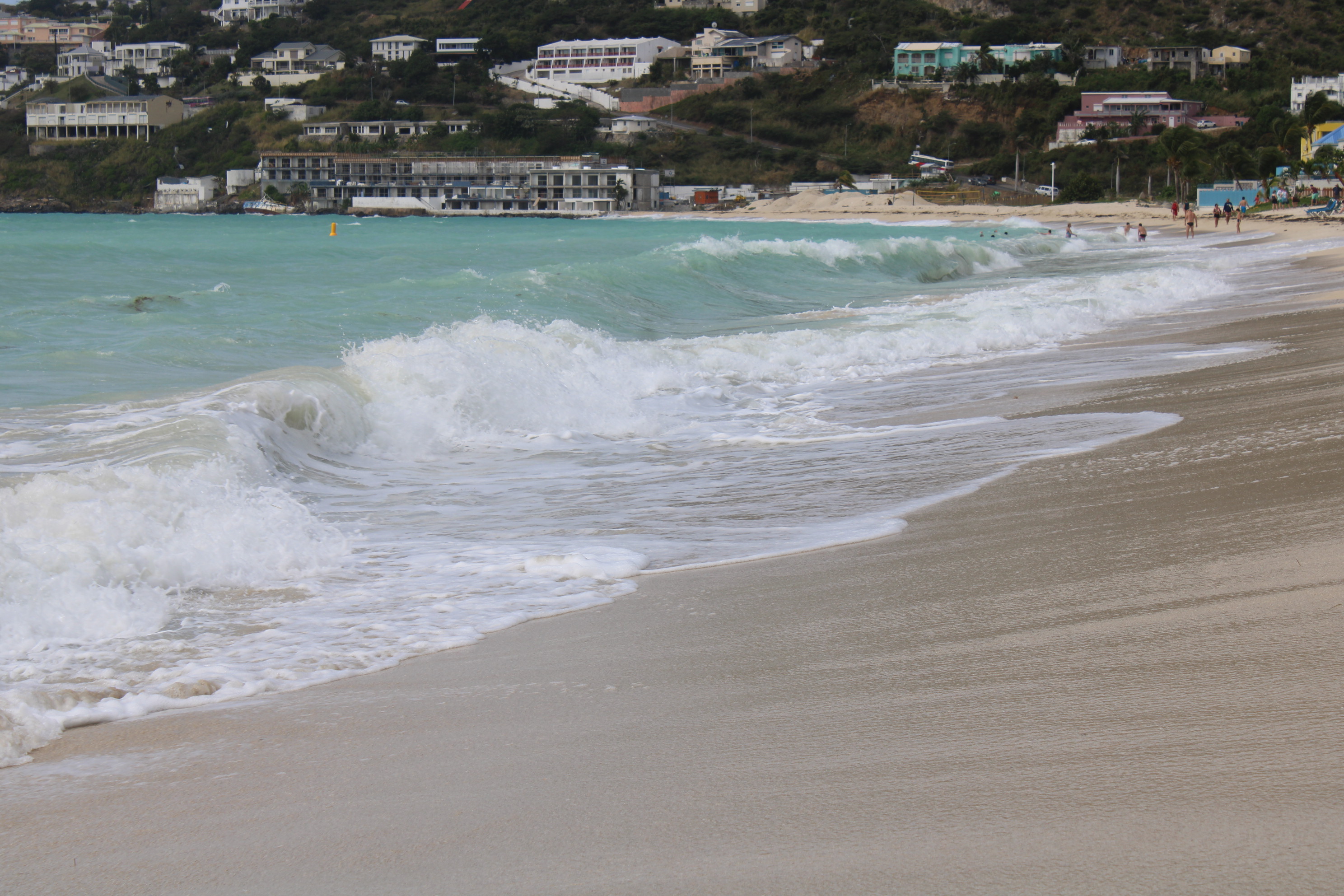
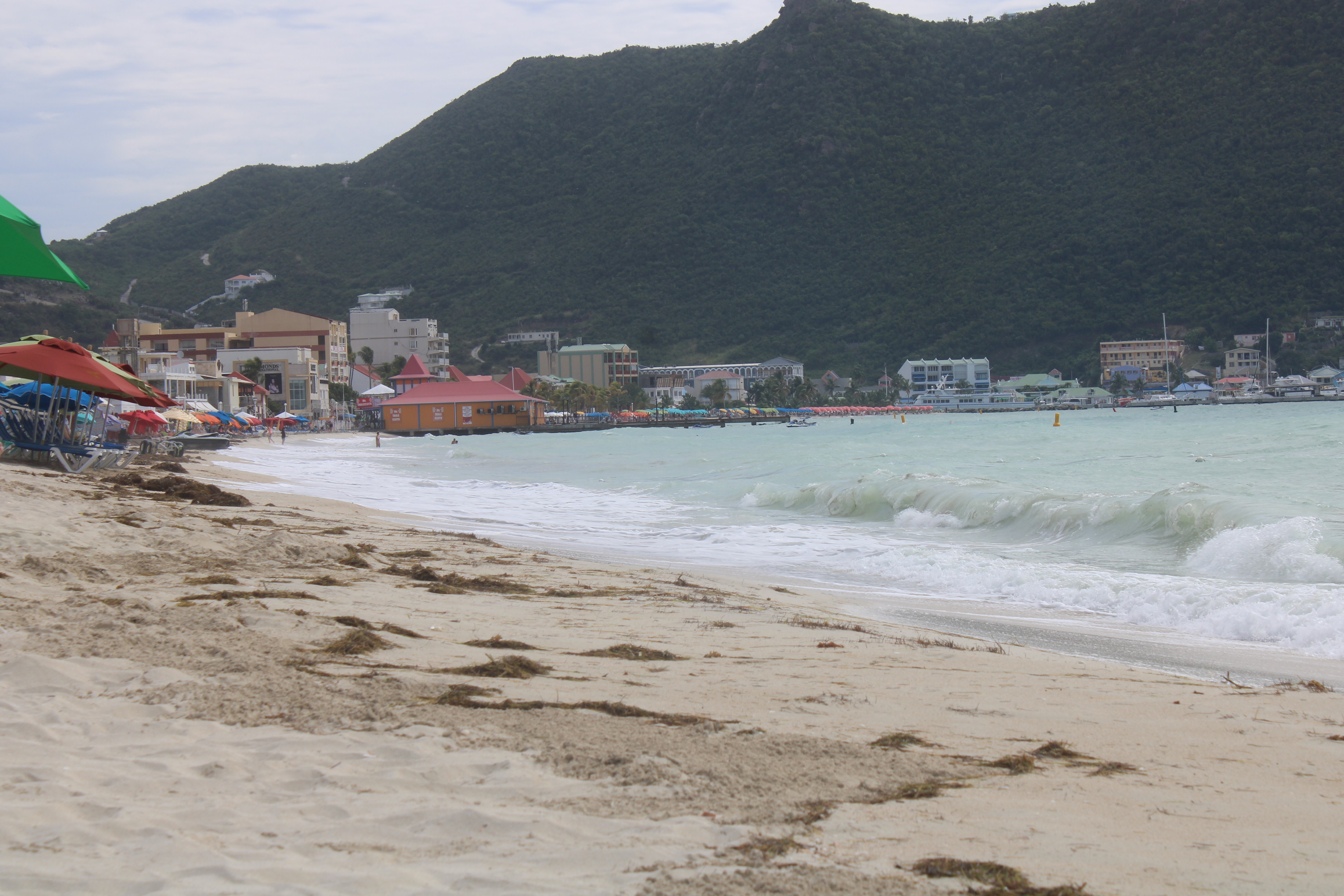
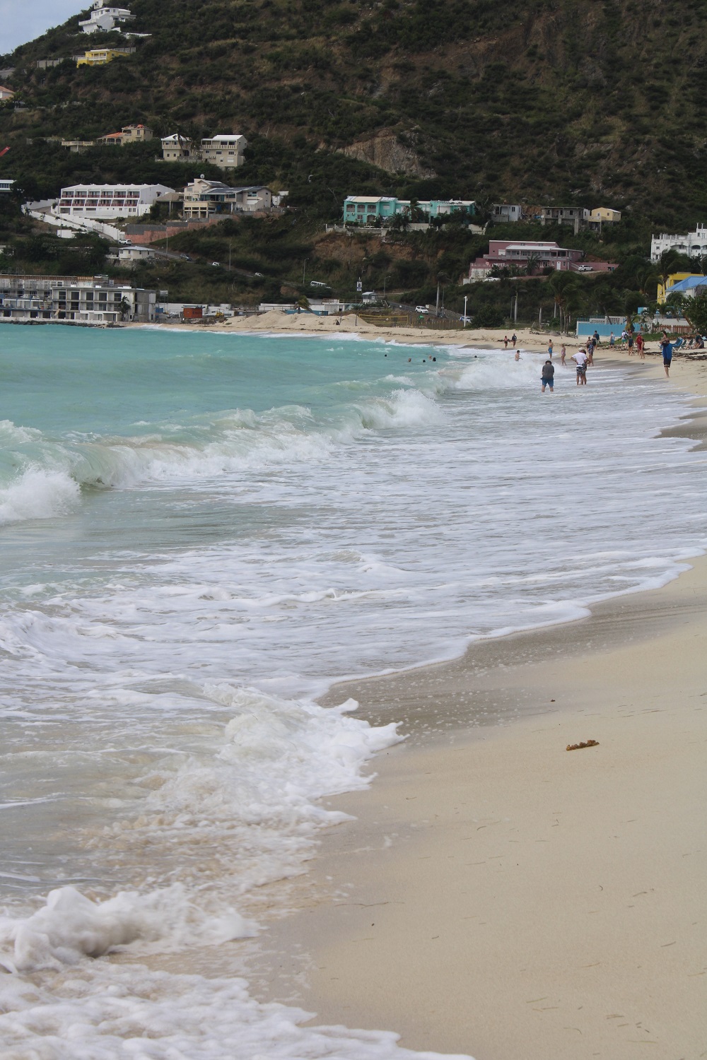
A similar situation exists in the Eastern Caribbean, where earthquakes are registered very frequently. On December 7 and 8, 2018, 54 earthquakes were recorded north of St. Kitts in 21 hours. The biggest had a magnitude of 4.1. Some of these earthquakes were felt in St. Maarten, but there was no sign of a tsunami. The Leeward Islands are so close together that the chance of a tidal wave developing is minimal. Viewed from the coast, the sea around the islands soon becomes very deep; the drop-off prevents tsunamis from landing on shore.
The earth is constantly changing. “The entire Caribbean is slowly moving eastward,” said Pors, who for many years was associated with the Caribbean Research and Management of Biodiversity (Carmabi). Geological research shows that the Caribbean did not exist 100 million years ago: North and South America were tied together. It was not until about 90 million years ago that an oceanic plate began to form – roughly at the place of the current Galapagos Islands – which was pushed to the east and began to work in between North and South America. The Caribbean plate is roughly rectangular, and it slides eastward at about 2 cm per year relative to the North American plate. The region experiences on average 1500 earthquakes a year.
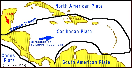
Image source: GEOLOGY OF BELIZE and Ambergris Caye, Belize
###
Related articles:
Fire Dept./ODM: Puerto Rico Earthquakes and Tsunami Public Information